A little over a month ago, I set off across Central Europe in search of Tolrendor.
That journey followed part of Richard the Lionheart’s route home from the Third Crusade, taking me from the Adriatic coast through ancient cities, mountain passes, castles, monasteries and river valleys. It has already given Tolrendor Karsos, the pirate city inside a dead Dragonborn emperor’s palace; Talovar, the marble island that survived the fall of Varandia; and Velsar, a city shaped by rivers, bridges and the legacies of successive empires.
There are more discoveries from that journey still to come.
But on Tuesday, I’m setting out again.
This time I won’t be crossing Europe by train.
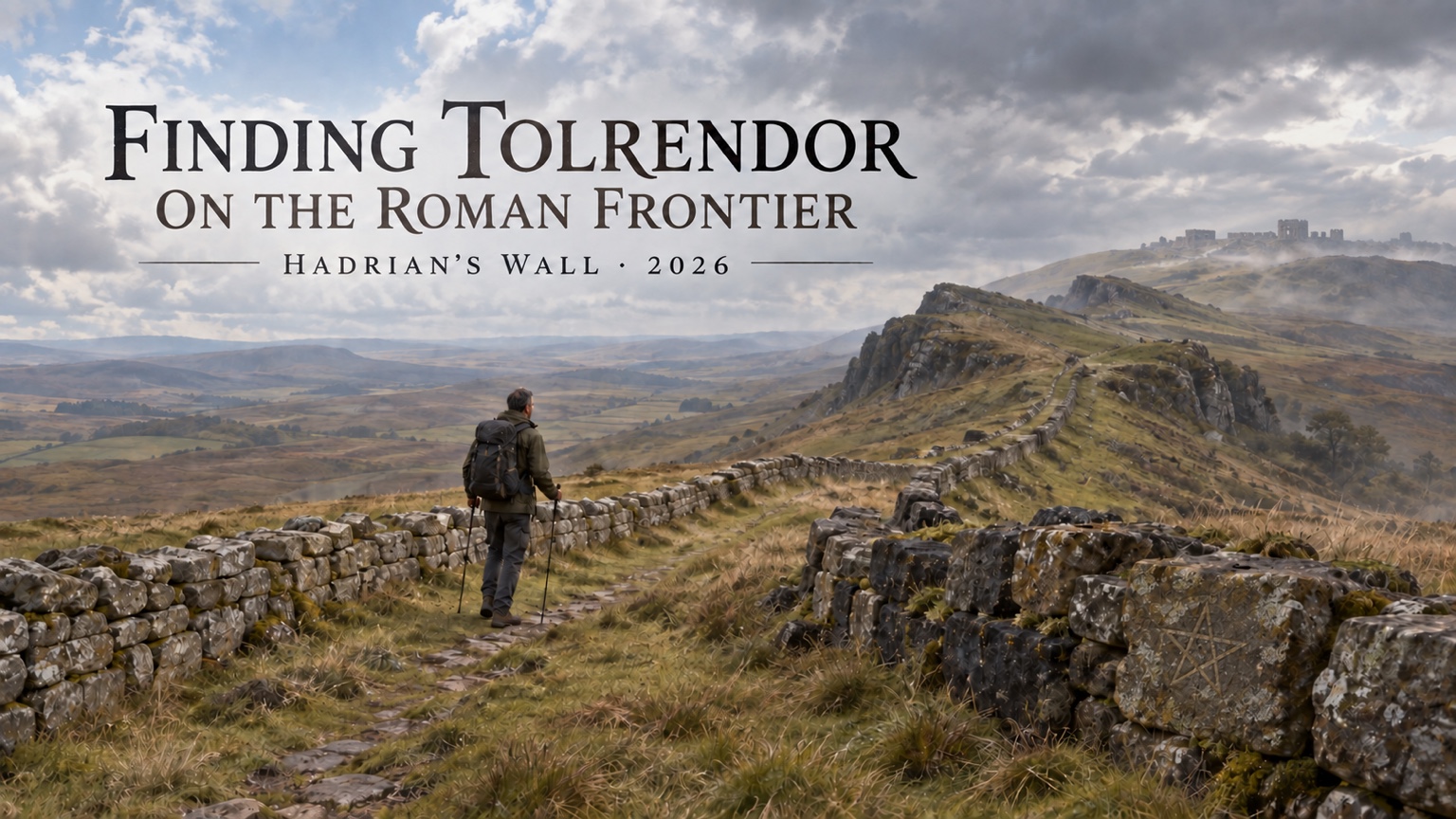
I’ll be walking across northern England, following Hadrian’s Wall from the Solway Firth to Wallsend.
A Different Kind of Journey
The walk itself begins on Wednesday at Bowness-on-Solway, the western end of Hadrian’s Wall Path.
From there I’ll spend nine days travelling west to east: through Carlisle and the Eden Valley, past Birdoswald, into the dramatic central Wall country around Walltown and the Whin Sill, and then onwards through the forts and sacred places of the eastern frontier before eventually reaching Segedunum at Wallsend.
Most nights I’ll be camping and carrying everything with me.
There will be rather fewer trains than last time.
There may also be rather more rain.
As with Finding Tolrendor in Medieval Europe, however, this isn’t intended to become a conventional travel blog.
It is another research expedition for Tolrendor.
More Than a Wall
Hadrian’s Wall is often imagined as a single enormous stone barrier dividing Roman Britain from the wild lands beyond.
The reality is much more interesting.
The Wall was part of an entire frontier system: forts and milecastles, roads and bridges, watchtowers and settlements, supply routes, river crossings and customs points. Soldiers arrived from across the Roman world. Traders, families and local communities gathered around the forts. Temples and shrines appeared beside military roads.
The frontier wasn’t merely a line separating two worlds.
It was a landscape in which those worlds met.
Its character also changes dramatically along its length. In the west, the frontier begins amid the saltmarshes and immense skies of the Solway. Further east, the Wall rises onto the dark crags of the Whin Sill, using the land itself as part of its defences. Beyond that, the country gradually softens again as the route approaches the Tyne and the settlements that would become Newcastle.
That relationship between geography, political power and everyday life is exactly the sort of thing I want to understand.
Why was a fort placed here rather than somewhere else?
How did soldiers and supplies move through the frontier?
What grew outside the gates?
What happened when an imperial military landscape became home?
And, inevitably…
What if this place existed in Tolrendor?
The Frontiers of Fallen Empires
Tolrendor has never lacked empires.
Varandia once ruled much of the Inner Sea beneath its Dragonborn emperors and dragon overlords. The Samite Empire rose centuries later, absorbing kingdoms, cities and peoples before eventually fracturing into successor states of its own.
Their ruins already shape the modern world.
But empires are not defined only by their capitals, palaces and monuments.
They are also defined by their edges.
Somewhere, every empire must decide where its authority ends. It must control roads, rivers and mountain passes; watch the peoples beyond its borders; move troops and messages across immense distances; and persuade those stationed at the farthest edge of civilisation that the centre still matters.
Hadrian’s Wall offers a chance to think about that imperial edge as a complete landscape.
What would a Tolrendian frontier wall defend against?
Would it mark a true boundary between settled lands and wilderness, or merely an emperor’s attempt to impose a neat line upon a much messier world?
Who built it?
Who served there?
What gods did soldiers bring from distant provinces and worship in its forts?
What communities gathered beyond its gates?
And what remained after the empire that built it disappeared?
At the moment, I don’t know which frontier this will become.
That is rather the point of going.
What I’m Looking For
Over the nine days I’ll be visiting places such as Birdoswald, Vindolanda, Housesteads, Chesters and Segedunum, together with the smaller remains scattered between them.
Some of the most intriguing sites are not the great forts at all.
At Carrawburgh, a temple of Mithras and the nearby sacred spring associated with Coventina offer a glimpse of the beliefs carried to the frontier—and of older sacred landscapes that existed alongside Rome. Elsewhere, medieval churches, farms and villages stand on or beside the vanished Wall, sometimes incorporating its stone into buildings raised many centuries later.
That layering matters.
The Wall was built as an expression of imperial power. Later generations reused it, dismantled it, built over it and told new stories about it. What survives today is not simply Roman. It is the accumulated result of almost two thousand years of people living with the remains of Rome.
That feels very much like Tolrendor.
I’m not looking to create a fantasy copy of Hadrian’s Wall, with Roman names exchanged for invented ones and legionaries replaced by conveniently equivalent soldiers.
I’m looking for the ideas underneath.
Somewhere along that frontier, I suspect there is a place waiting to be found in Tolrendor.
On Tuesday, I shoulder the backpack again.
Let’s see what we find…

 Tolrendor DM's Blog