 In the real world, it’s clear that History, the march of human events across the slowly unravelling scroll of time, is driven by Geography. Natural mountain barriers, impassable terrain, waterways and seas, climate, land fertility; all these factors have had a significant, if not dominant, impact on the ebb and flow of human civilisation, migrations, kingdoms and even empires.
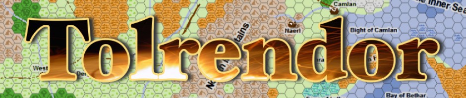
It’s true that I may have been thinking about this subject partly as my daughter has recently had to choose between these subjects for her GCSEs (UK national exams), but primarily its because I’ve spent the last few days musing over a region in my world of Tolrendor!
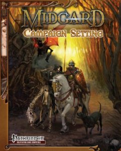
The north-eastern region of my main continent has always been a sketchily imagined area, beyond the vague concept of wide steppes and migrating hordes. However, inspired in part by the ‘Holy Roman Empire’ vibe of the ancient Grand Duchy in the Midgard Campaign Setting , I’ve been reading up on the Hanseatic League, the Teutonic Knights and generally the medieval history of the Baltic Sea. A fascinating period, and certainly an area that I was less familiar with than the western regions of Europe.
So what do I do to integrate these ideas into my world. Well, the strange thing is that I approach it in the opposite direction. My first thoughts are about the human (or fantasy races…) events and and backdrop I want to create. For example, my reading has inspired ideas such as:
- Heavily armoured (human and dragonborn) knights crusading against (conquering) the eastern pagan tribes
- A powerful merchant league of cities with their own fleets, armies and trading stations spread across the region
- Dragon ships of the wild Northmen raiding the coasts and even deep into the heart of the continent on a network of rivers and lakes.
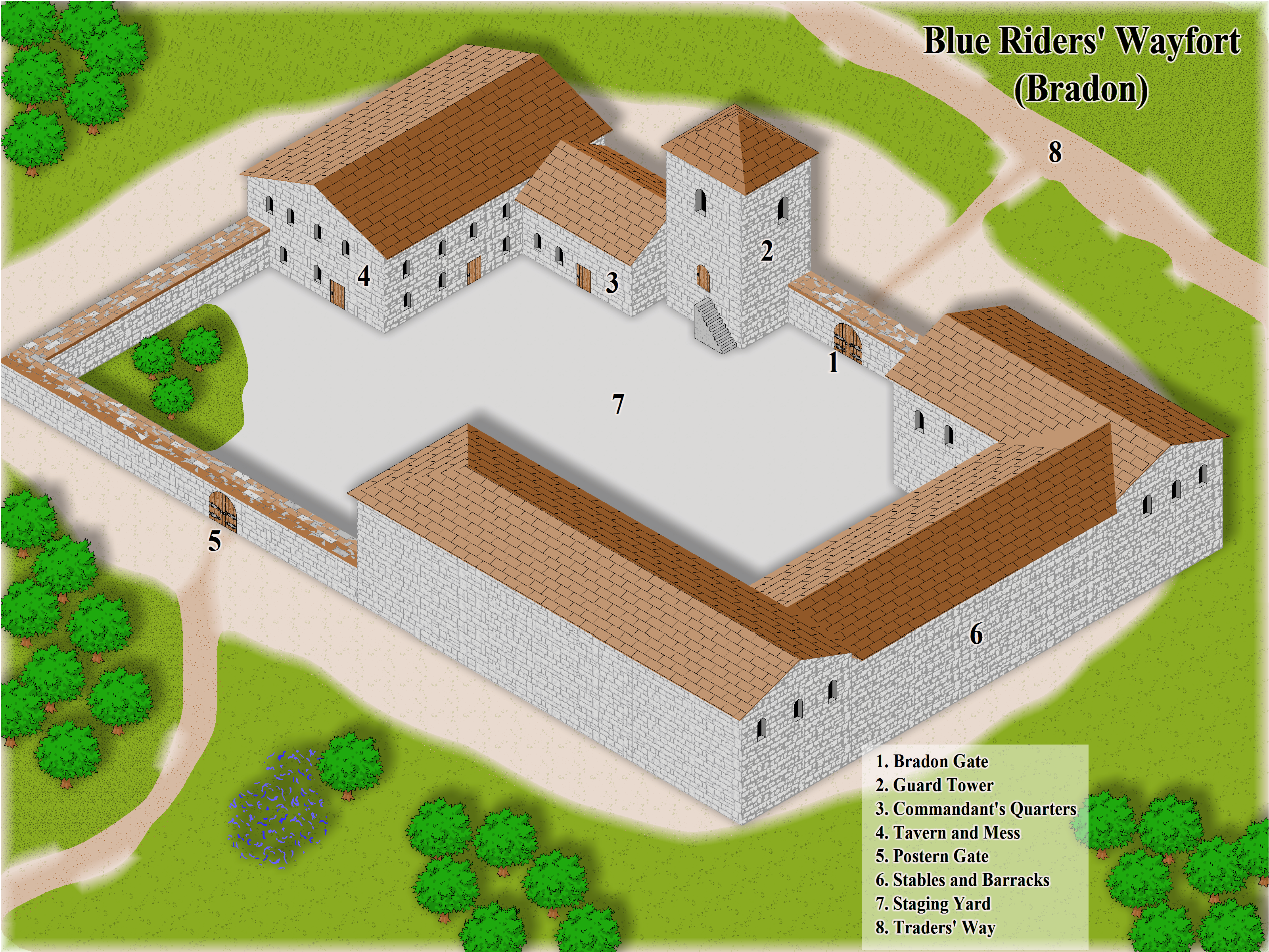
- Merchant barges and pirate galleys clashing along deep river valleys, overlooked by seemingly inaccessible castles perched high on rocky outcrops.
- A complex, inter-related myriad of nobles, clerics and powerful town guilds locked in a political battle for supremacy in the region.
From these ideas, I start to imagine the map. Clearly there will be a sea linking the mainland with the land of the northmen (and other fell races), and many interconnected river valleys and narrow lakes. The mainland regions will need to have lots of natural features that help to break the region into smaller realms, sites that suit strong independent towns and cities etc. So here I have History driving Geography! 🙂 After all, in a role-playing world, it’s the story that comes first!
I don’t always work this way. Many times I have started with doodling a map, and progressed to fitting my story to it; but then often find myself getting frustrated because the geographical features don’t quite fit my ideas, and so the map has to change! A design process is necessarily iterative 🙂 This is without doubt in my opinion one of the most enjoyable parts of the world-building process, when nothing is set in stone, and your ideas can clash and twist and eventually the geographical and historical elements blend to create a setting ripe for new stories to be told!
What about you? Does this sound familiar? If not, how do you approach the early stages of building a world setting?
Next, hopefully I’ll have a map to show off!