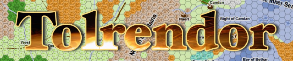

The Havenscoast Project
One of the things I always like to do in a campaign is have a map of the region that I can use as a handout for the players. I believe this helps them visualise the area and encourages them to seek out adventures based on the interesting places they can see.
This was always to my mind a classic part of the whole role-playing experience back in my AD&D days, and there is no reason why 4E adventuring needs to be any different.
Of course, cartography being one of my favourite pastimes, I always like to create a player handout with the feel of an actual in-game item. In the early days of the Cartographer’s Annual from Profantasy Software, in fact way back at Issue 6, some great tools were offered to help with just that. The main intent of the issue was to create maps that looked like they had been drawn on ancient parchment or paper, complete with ink stains and blots, ragged edges and previous use marks. One of the example maps also had a great set of overland map symbols that were designed to look hand drawn. You should check it out!
Anyway, the Havenscoast Project seemed like a good place to try out these tools, so here is my effort, a regional map as if drawn by a Camlan (the major city of the region) cartographer, on an old, re-used piece of parchment – hopefully just the sort of map a player character might come across…

The Havenscoast: Players' Map
Click on the image for a full-size high-res version. Comments and suggestions welcome. Its the first map I’ve tried using this style, and I’m pretty pleased with it, but I’m sure there’s plenty of room for improvement!